

Overview
Overview The Rongai Route offers a quieter, less crowded alternative to the southern routes, approaching Kilimanjaro from the northern side near the Kenyan border. Known for its gradual ascent and varied landscapes, Rongai is favored by trekkers seeking a more remote and peaceful climbing experience. Day by Day
Tour Features

Hut Camping
This trek uses tents

Private Tour
This safari is arranged privately for your group.

Solo Travelers
Not suited for solo travelers.

Customizable
This itinerary can be customized.

Children Policy
Minimum age accepted is 12.

Start Date
This safari can start on any day.
Highlights
Rongai Gate (1,950 m) → Simba Camp (2,750 m)
Simba Camp (2,750 m) → Second Cave Camp (3,550 m)
Second Cave Camp (3,550 m) → Kikelewa Camp (4,200 m)
Kikelewa Camp (4,200 m) → Mawenzi Tarn Camp (4,350 m)
Mawenzi Tarn Camp (4,350 m) → Kibo Hut (4,700 m)
Kibo Hut (4,700 m) → Uhuru Peak (5,895 m) → Horombo Hut (3,720 m)
Horombo Hut (3,720 m) → Marangu Gate (1,860 m)
Your Safari Map
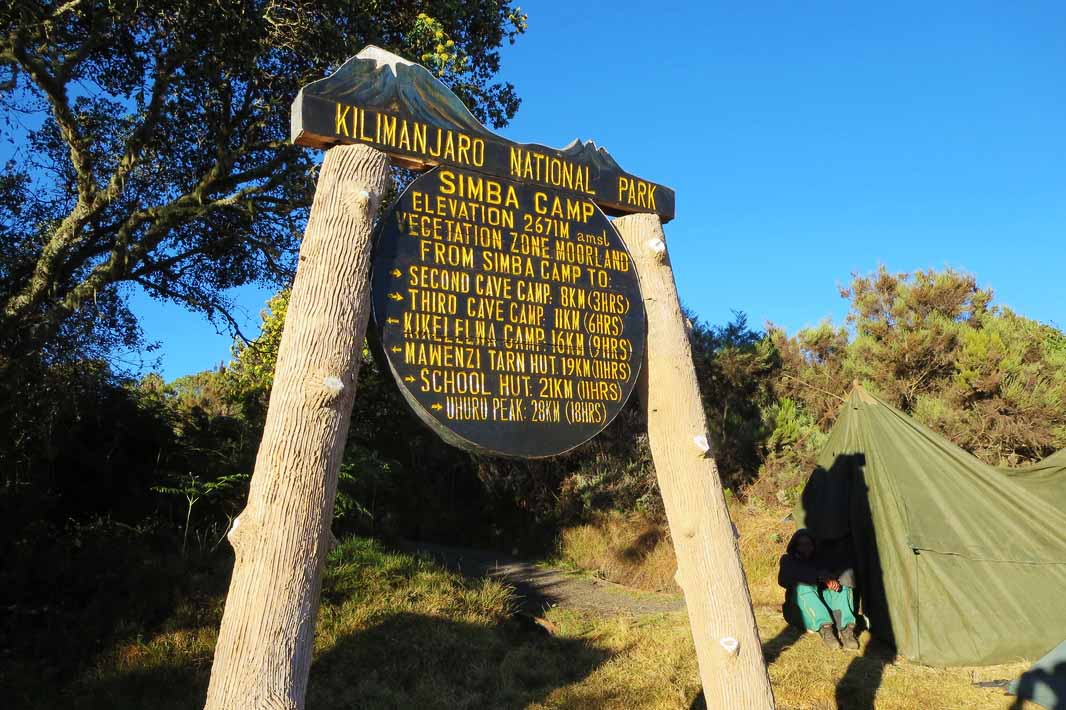
Simba Camp
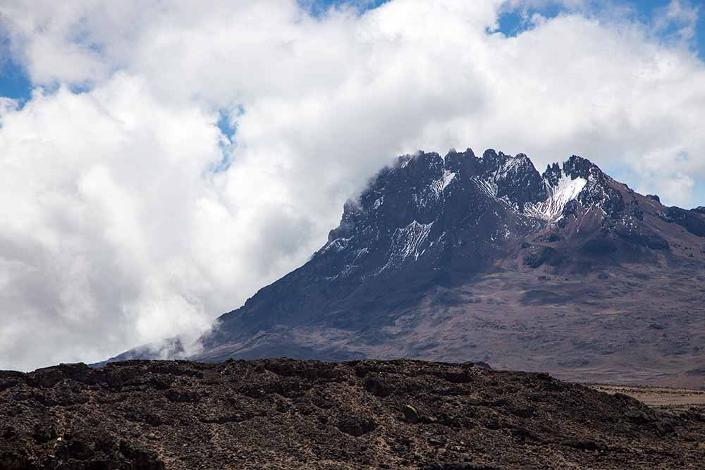
Second Cave Camp
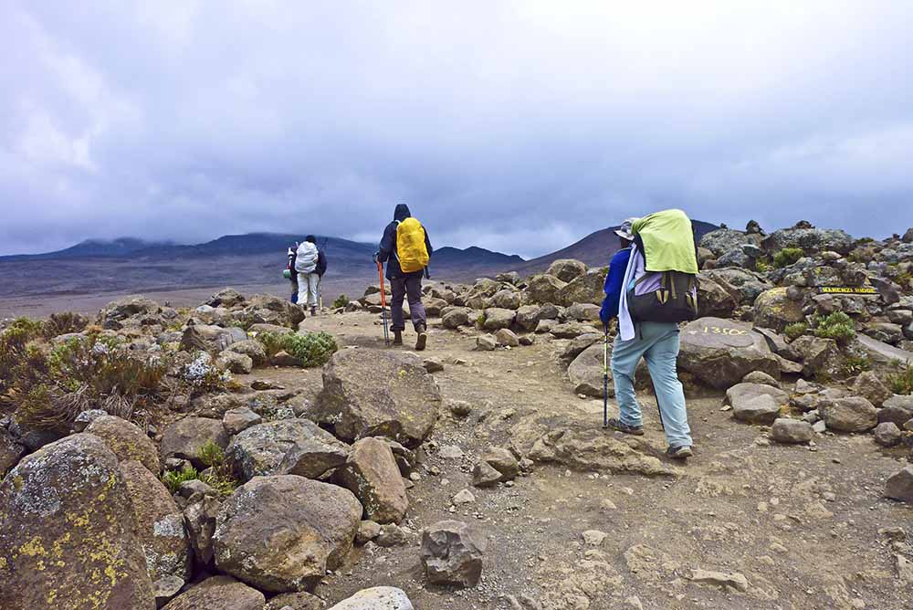
Kikelewa Camp
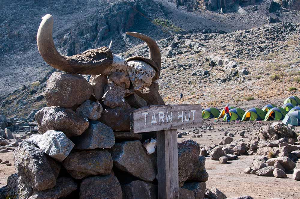
Mawenzi Tarn Camp
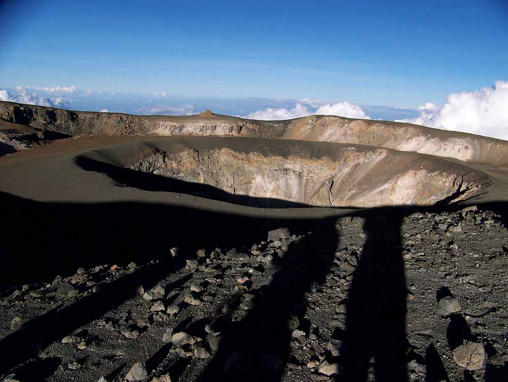
Kibo Hut
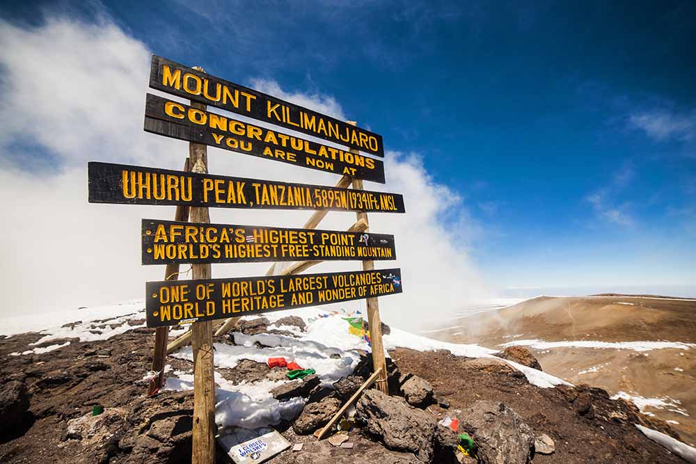
Uhuru Peak
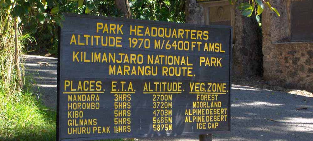
Marangu Gate
Safari Itinerary
Terrain & Vegetation: Begin your trek through open grasslands and pockets of pine forest. The northern approach allows for wildlife sightings, including small antelope like dik-diks and, occasionally, buffalo grazing in the plains. The trail here is generally drier and less humid than the southern routes. Climate: Mild and dry with cooler temperatures, especially in the early morning and late afternoon.
- Distance: 10 km (6.2 miles)
- Trekking Time: 4–5 hours
- Altitude Gain: 800 m
- Meals: Breakfast, Lunch, Dinner
- Accommodation: Simba Camp
Accommodation
Simba Camp
Terrain & Vegetation: Trek through dense pine forest which gradually gives way to moorland. The landscape here is dotted with giant lobelias and striking volcanic rock formations, creating a dramatic and otherworldly environment. Climate: Cooler temperatures prevail with occasional strong winds that prepare you for the higher alpine zones ahead.
- Distance: 9 km (5.6 miles)
- Trekking Time: 5–6 hours
- Altitude Gain: 800 m
- Meals: Breakfast, Lunch, Dinner
- Accommodation: Campsite
Accommodation
Campsite
Terrain & Vegetation: Transition from moorland into alpine desert characterized by rocky terrain and sparse vegetation. This stretch reveals spectacular views of the jagged Mawenzi peak and the massive dome of Kibo. Climate: Cold, dry, and often windy, requiring proper warm clothing and wind protection.
- Distance: ~9 km (5.6 miles)
- Trekking Time: 5–6 hours
- Altitude Gain: 650 m
- Accommodation: Campsite
- Meals: Breakfast, Lunch, Dinner
Accommodation
Campsite
Terrain: Rocky alpine terrain with steep rocky outcrops and sheltered valleys. The trail offers excellent acclimatization opportunities with dramatic views of surrounding peaks and the Kibo summit looming ahead. Climate: Very cold temperatures, with frequent frost and strong alpine winds, making warm clothing essential.
- Distance: ~5 km (3.1 miles)
- Trekking Time: 3–4 hours
- Altitude Gain: 150 m
- Accommodation: Campsite
- Meals: Breakfast, Lunch, Dinner
Accommodation
Campsite
Terrain: Traverse rocky alpine desert as you approach the Kibo crater rim. The landscape is stark and barren, with increasing exposure to wind and cold temperatures. Climate: Cold and windy conditions persist, with thin air making the climb physically demanding.
- Distance: ~6 km (3.7 miles)
- Trekking Time: 4–5 hours
- Altitude Gain: 350 m
- Accommodation: Campsite
- Meals: Breakfast, Lunch, Dinner
Accommodation
Campsite
Terrain: The summit day involves steep scree slopes and rocky paths, beginning around midnight for a sunrise summit at Uhuru Peak. The descent passes through alpine desert and moorland back to the comfort of Horombo Hut. Climate: Summit conditions are extremely cold with possible snow and high winds. Weather can change rapidly, requiring layered clothing and protective gear.
- Distance: ~6 km (3.7 miles) ascent + ~15 km (9.3 miles) descent
- Trekking Time: 7–9 hours ascent, then 4–6 hours descent
- Altitude Gain & Loss: 1,195 m ascent to summit, followed by 2,175 m descent
- Accommodation: Campsite
- Meals: Breakfast, Lunch, Dinner
Accommodation
Campsite
Terrain: Descend mostly downhill through moorland and rainforest, with diverse vegetation and warmer temperatures. The trail winds through lush forest, offering a refreshing contrast to higher alpine zones. Climate: Warmer and more humid as you approach the park gate. Finish: Celebrate your success with a certificate presentation at Marangu Gate, followed by transport arrangements back to Moshi or Arusha.
- Distance: ~19 km (11.8 miles)
- Trekking Time: 5–6 hours
- Altitude Loss: 1,860 m
- Meals: Breakfast
Accommodation details are available on request for this part of the itinerary.
 Tanzania